
Last year, I filed Senate 344 to jump start planning to address the storm surge risks created by rising sea levels. I’m pleased to report that the legislation was passed as part of last week’s supplemental budget measure.
Representatives Rushing and Livingstone cosponsored the budget language on the House side. Representatives Walz, Ehrlich, Lewis, Khan, Cantwell and Rogers and Senators Barrett, Spilka, DiDomenico, and Jehlen were cosponsors of the original legislation.
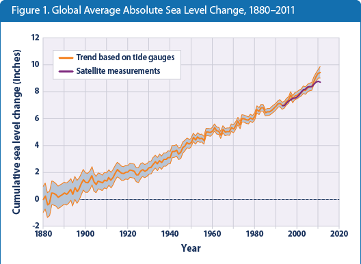
There is a lot of recognition in the scientific community now that sea levels are likely to rise somewhat through the 21st century. The range of guesses as to how much is still fairly wide — from a few inches to as much as six feet — so it is hard to know just what to prepare for.
The right way to approach the challenge is to consider alternative scenarios. For the most critical assets — our road and subway tunnels, our power systems — inundation is a completely unacceptable scenario. A major storm that knocked out these assets might take years to recover from. We need to plan ahead to protect those systems from even the improbable high-water scenarios. Less critical assets need protection only from the more certain lower-water scenarios.
Many agencies and organizations are getting into the conversation as consciousness builds that some sea level rise is very probable. In immediately coastal areas, the analysis is relatively straightforward — the National Oceanic and Atmospheric Administration has developed some consensus scenarios as to future water elevations. It’s a fairly straight-forward topographical mapping exercise to identify the areas affected in those scenarios. Take high-water experience with prior peak storm surges and add sea level rise to them and see what would be flooded. We have good land elevation data for the whole state.
The conceptual challenges are much greater for the river basins protected by sea walls — the straight-forward topographical mapping suggests a probability of inundation for large areas of Boston and Cambridge. However, in fact, high tide lasts only a couple of hours and even if a storm surge is very high only so much water will be able to rush into those protected areas. Additionally, the Charles and Mystic sea walls have huge built-in pumps which are capable of throwing an overwhelming flow of water back towards the sea. How increased river flooding from rainfall plus a temporary overtopping of the dams at high tide will compare to the pumping capacity in those dams is a complicated question.
At this point, there is no consensus answer to those harder questions. But to justify planning for huge potential infrastructure investment, we do need to develop some consensus about likely scenarios and that is the purpose of the legislative language adopted last week which initiates a consensus building process led by the Secretary of Energy and Environmental Affairs.
I am hopeful that the legislation will help us take concrete steps to towards the major investments that we may need to make to protect our communities.
The text that passed reads as follows:
SECTION 39. (a) Notwithstanding any general or special law to the contrary, the secretary of energy and environmental affairs shall convene an advisory committee on flood risks created by climate change. The advisory committee shall be chaired by the secretary, or the secretary’s designee, and shall be comprised of representatives with expertise in the following areas: coastal zone and river flooding, hydrological and hydraulic modeling, natural hazard preparedness and mitigation, sea level and storm surge projections, risk measurement and reduction, emergency management planning and scenario planning.
(b) The advisory committee shall complete a report, not later than July 1, 2015 which shall include: (i) a set of combined sea-level rise and storm-surge scenarios for the commonwealth;
(ii) estimates of risk levels of each scenario occurring by 2030, 2050 and 2100; (iii) estimates of flood water levels in coastal areas under each scenario, which shall reflect appropriate local information such as local uplift and subsidence and coastal erosion rates; (iv) estimates based on hydrological and hydraulic modeling of flood water levels in each scenario in historically coastal areas currently protected by dams, including the Charles River Basin and the Mystic River Basin; (v) maps of areas subject to inundation in each scenario; and (vi) recommendations for additional studies to assess the vulnerability of state agency and public utility assets based on the scenarios developed.
(c) The advisory committee shall conduct an initial public hearing before procuring any contract for consulting services and a second hearing before finalizing its report. The report shall be filed with the clerks of the senate and house of representatives, who shall forward the report to the senate and house chairs of the joint committee on environment, natural resources and agriculture.
We look forward to working with the Secretary of Environmental Affairs to support them in this process, including working for funding if needed.
What will happen to Logan if sea level rise hits the high end of the estimates, six or seven feet? Will a sea wall work for rises like that?
Or will Logan have to move??
Great question about Logan.
I know that Massport is starting to think about the risks.
If Logan can’t function, a lot of other things in Boston won’t be functioning.
My goal is to start getting some consensus numbers in place for areas that I represent so we can move further on what will be a huge urban planning enterprise.
The FY15 budget includes funding to support this planning as it relates to the Mystic and Charles basins:
Well done, and timely. There are many communities that will be looking forward to this information.
Thank you so much for your work on this. Hope it survived the red pen.
It did survive — in the FY15 budget. Right now we are working on making sure that the funds remain available until the work is complete, which will take well into FY16.